


As dangerous heat and humidity continue across northwest Iowa, Sioux County Emergency Management officials are urging residents to stay weather aware as multiple rounds of thunderstorms could bring severe conditions to the area.
According to the National Weather Service, a few thunderstorms could develop Monday evening and overnight, with additional chances for severe weather continuing Tuesday. If storms form, the primary threats include damaging wind gusts of up to 75 miles per hour, large hail up to golf-ball size, and periods of heavy rainfall.
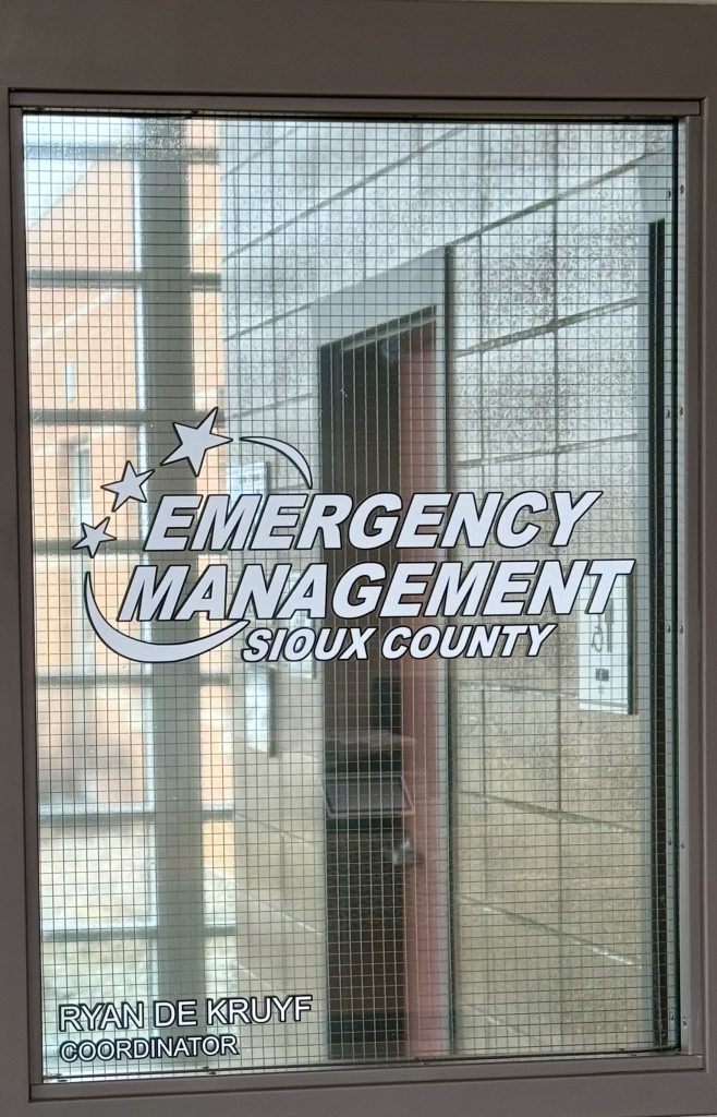
Sioux County Emergency Management Coordinator Ryan De Kruyf says the combination of extreme heat and high humidity creates an environment favorable for strong storms.
“Anytime you have heat and thunderstorms, it’s kind of the recipe for a perfect storm, so to speak,” De Kruyf says.
The National Weather Service has indicated that the greatest potential for severe weather on Monday night could occur during the overnight hours, making preparedness especially important.
De Kruyf says his office remains in regular contact with forecasters in Sioux Falls and receives updated weather briefings throughout the day. If a more significant threat develops for Sioux County, emergency management and local authorities are notified directly and begin monitoring conditions and preparing to respond if necessary.
Because some of the strongest storms could occur while many people are sleeping, De Kruyf is also encouraging residents to have multiple ways to receive warnings.
“Please don’t just rely on one source of information because, you know, for example, the National Weather Service, their system could go down for whatever reason. And you’re signed up to receive alerts from the National Weather Service, but, you know, like I said, they’re down. And now what do you do? So, it’s pretty easy just to silence your phone if you get too many notifications. But yeah, definitely have more than one means to get information and get alerts just because you never know if one of them’s going to go down.”
The reminder comes as the Doppler radar at the National Weather Service office in Sioux Falls is temporarily offline for maintenance and is expected to remain down for about a week. Forecasters are instead relying on neighboring radar sites in Omaha, Des Moines, and Chanhassen, Minnesota, while the work is completed.
Emergency officials encourage residents to:
•Monitor forecasts closely as additional rounds of thunderstorms remain possible this week.
•Ensure wireless emergency alerts are enabled on their phones.
•Have a weather radio or another backup source of weather information.
•Pay close attention to watches and warnings issued by the National Weather Service.
While the exact timing and impacts of individual storms may change, De Kruyf says staying informed and being prepared to act quickly remain the best defenses against severe weather.