


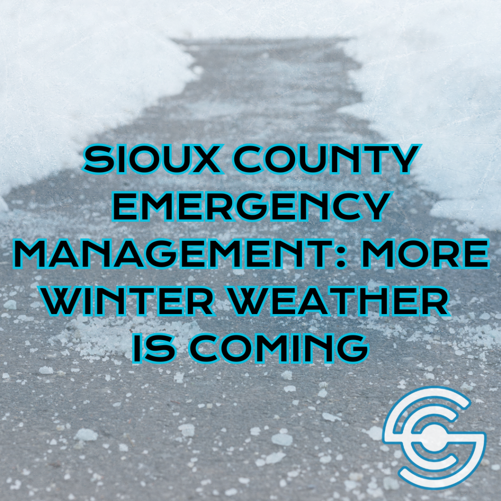
Sioux County officials are warning residents about another round of winter weather expected this weekend — and asking motorists to plan before travelling.
Emergency Management Coordinator Ryan De Kruyf says National Weather Service data projects snow moving into the area Saturday morning and continuing through Saturday night. Most of Sioux County could see one to two inches of snow, but a narrow band of heavier totals — three to six inches — is possible near and just east of the I-29 corridor, depending on how the storm tracks.
Winds are also expected to pick up Saturday afternoon, with gusts around twenty to twenty-five miles per hour. That could cause blowing snow and brief visibility issues, especially in open rural areas.
Conditions are projected to turn even more dangerous late Saturday into Sunday morning, when wind chills may drop to fifteen to twenty degrees below zero. De Kruyf says his office will continue to provide localized updates as the storm approaches.
In a recent interview with Sioux County Radio, Lieutenant Deputy Sheriff Justin DeBruin said it’s important to slow down, increase your following distance, and make sure your headlights are on — since automatic lights don’t always activate in fog or falling snow. He also says drivers should avoid using cruise control when roads are slick.
DeBruin emphasized the importance of knowing what you are driving into.
In another recent interview, Ryan De Kruyf also stressed the importance of checking your vehicle’s emergency supplies — and keeping enough fuel in the tank in case you become delayed or stranded in the cold.
More preparedness information can be found at Ready.Iowa.gov.